Duluth and northeastern Minnesota are gearing up for a volatile weather week, with strong storms and high temperatures expected to impact the region. The National Weather Service is warning residents about a mix of severe weather that could disrupt travel plans, especially for those heading out for the July 4th holiday.
Thunderstorms and Severe Weather
The weather in Duluth will be active starting Tuesday evening, with isolated thunderstorms expected in the Arrowhead region. These storms could bring brief wind and rain, but the real threat begins on Wednesday afternoon.
Stronger storms are forecasted to move into northeastern Minnesota and northwest Wisconsin, with gusty winds up to 60 mph, frequent lightning, and hail ranging from penny- to quarter-size.
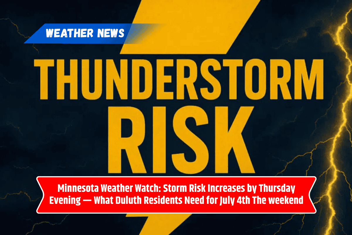
By Thursday evening, the weather could worsen, with another round of severe storms expected. Areas along the I-35 corridor, including Duluth, Cloquet, and Hinckley, should prepare for heavy rain, which could lead to localized flash flooding, continuing into Friday and Saturday.
Hot and Humid Conditions
In addition to the storms, the heat will increase as the week progresses. Temperatures are expected to rise into the upper 80s by Friday, accompanied by high humidity and heat indices in the mid-90s.
This combination of heat and storms could disrupt outdoor activities for the Independence Day holiday, especially during the afternoon when storms are most likely. Residents are urged to stay weather-aware and keep hydration and cooling options on hand.
Heat Advisories may be issued later in the week as the region enters an unstable summer pattern, with warnings possible through Saturday. The combination of intense storms and heat could make this a challenging week for those with outdoor plans.
Extended 5-Day Forecast for Duluth (July 2–6)
Wednesday, July 2: Expect a high of 81°F with a 30% chance of thunderstorms in the afternoon. Winds may gust, and thunderstorms could bring brief rain and hail.
Thursday, July 3: The high will reach 72°F, with mostly sunny conditions early in the day. However, late storms are possible as temperatures drop.
Friday, July 4 (Independence Day): A hot and humid day with highs around 88°F. Expect storms to develop in the late afternoon, which could disrupt outdoor celebrations.
Saturday, July 5: The weather will remain active, with a high of 81°F and more showers and storms likely throughout the day.
Sunday, July 6: The weekend will end on a drier note with mostly sunny skies and a high near 73°F. Conditions will improve as the region dries out.
How to Stay Safe This Week
With the combination of storms, high winds, and hot temperatures, it’s important to stay prepared for rapidly changing weather. Be cautious if you’re traveling, especially in areas prone to flooding. Avoid driving on flooded roads, and always check for weather updates.
Keep plenty of water and cooling options available, particularly for those spending time outdoors. For the July 4th weekend, be prepared for potential interruptions to outdoor activities and celebrations due to storms.