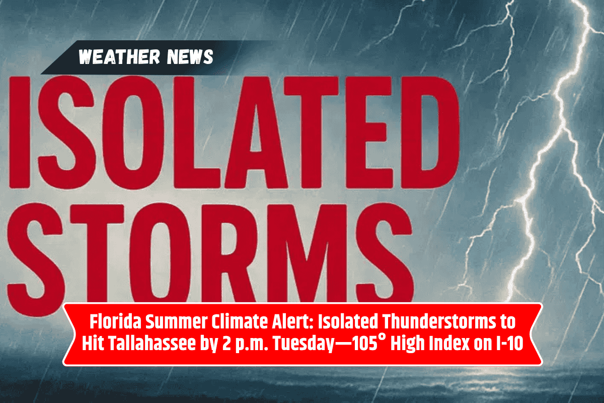
Tallahassee, Florida is in for a hot week, with scorching summer heat returning on Tuesday, June 24, along with the risk of pop-up thunderstorms. Highs will reach near 97°F, but with the humidity, the heat index could soar up to 105°F.
This extreme heat, coupled with the chance of thunderstorms, could disrupt outdoor plans and travel, especially during the afternoon when storms are expected to develop. If you’re in the Tallahassee area, here’s what you need to know to stay safe and prepared.
Heat Advisory and Thunderstorms in Tallahassee
The National Weather Service has warned that Tallahassee will experience partly cloudy skies early Tuesday morning, but isolated thunderstorms are expected to develop after midday.
These storms will be most active between 2 and 5 p.m., affecting major roads such as I-10 and U.S. Route 319. The combination of extreme humidity, light winds, and high temperatures will make conditions ripe for heat-related illnesses, including heat exhaustion and heat stroke.
Heat Risks and Safety Tips
With a high of 97°F and the heat index climbing to 105°F, it’s crucial to take precautions to avoid heat-related health issues. Here are a few tips to stay safe:
Stay hydrated: Drink plenty of water throughout the day to prevent dehydration.
Limit outdoor activities: Avoid strenuous outdoor work or exercise, especially between noon and 5 p.m.
Wear lightweight clothing: Opt for light-colored, breathable clothing to help your body stay cool.
Check on vulnerable neighbors: Make sure the elderly or those without air conditioning are comfortable and safe.
Stay indoors when possible: With the threat of thunderstorms and high heat, it’s best to remain indoors during the hottest part of the day.
What to Expect the Rest of the Week
The heat is expected to continue intensifying in Tallahassee through the rest of the week, with highs reaching 98°F on Wednesday, along with a 40% chance of scattered thunderstorms in the afternoon.
Conditions will remain unstable through Thursday and Friday, with 80% chances of thunderstorms expected each afternoon and evening. Heavy rain, gusty winds, and localized flooding in low-lying areas are all possible, making travel hazardous at times.
Here’s a look at the five-day forecast:
Tuesday, June 24: High 97°F, with a heat index reaching 105°F. Isolated afternoon storms expected.
Wednesday, June 25: High 98°F, with a 40% chance of scattered afternoon thunderstorms.
Thursday, June 26: High 93°F, with 80% chance of thunderstorms after 2 p.m.
Friday, June 27: High 91°F, with 80% chance of afternoon and evening storms.
Saturday, June 28: High 90°F, with widespread showers and storms, 80% chance.
Tallahassee is in for another week of intense heat and the potential for afternoon thunderstorms. As temperatures rise to 97°F and beyond, the risk for heat-related illnesses is high, especially between 2 p.m. and 5 p.m. when storms are most likely to develop.
Make sure to stay hydrated, take frequent breaks if you’re working outside, and avoid outdoor activities during the hottest hours of the day. Keep an eye on the forecast as scattered storms could cause disruptions to travel, and localized flooding may occur in low areas. Stay alert and have a backup plan for outdoor events.