Severe weather is expected to affect Vermont and northern New York late Saturday night into early Sunday, with intense thunderstorms followed by a major heatwave.
These storms could bring damaging winds, heavy rainfall, and dangerous lightning, while a heatwave will tighten its hold on the region, lasting for several days.
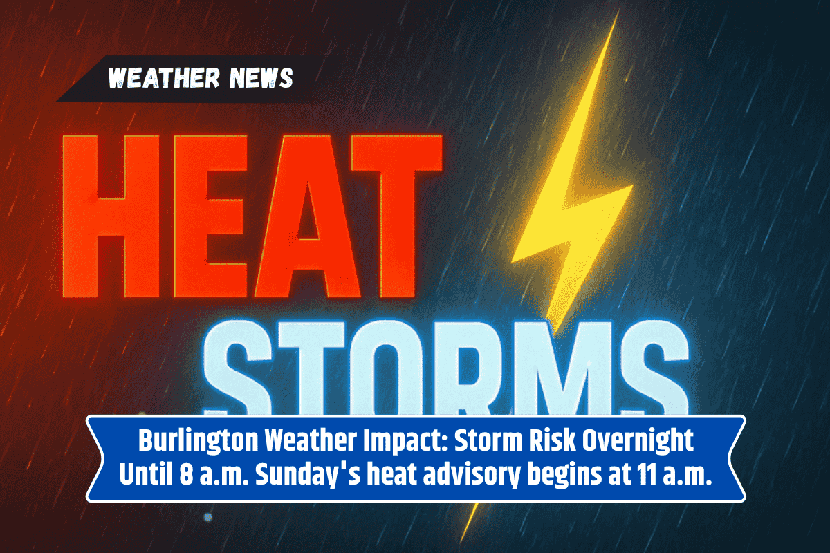
Thunderstorms to Hit Late Saturday Night
According to the National Weather Service in Burlington, thunderstorms will likely develop between midnight and 8 a.m. Sunday. The storms are expected to be scattered, with the highest risks affecting southern Vermont and northeastern New York.
The primary threats include wind gusts exceeding 60 mph, heavy rainfall, and frequent lightning strikes. Residents along the I-89 corridor should prepare for reduced visibility and potential power outages during the night.
Heatwave to Follow
After the storms pass, attention will shift to an intense heat event expected to start Sunday morning. A Heat Advisory will be in effect from 11 a.m. Sunday, and an Extreme Heat Watch will follow, lasting through Tuesday evening.
The heat index, which combines temperature and humidity, could climb to dangerous levels, reaching 105°F, particularly in the Champlain and Connecticut River Valleys.
What Residents Should Do
Residents are urged to stay safe and take precautions as the storms and heatwave approach. It’s recommended to avoid unnecessary outdoor activities, stay hydrated, and check on vulnerable neighbors. Local authorities may open cooling centers to provide relief during the extreme heat.
The weather will be severe in Vermont and northern New York, with storms late Saturday night followed by an intense heatwave.
It is important to stay informed about the changing weather alerts and take necessary safety measures to protect yourself and others during these extreme conditions. Stay prepared for both the storms and the heat that will follow.