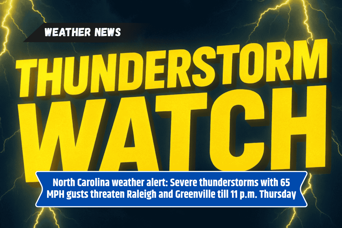
Raleigh, N.C. – A severe thunderstorm watch is in effect for much of eastern and north-central North Carolina until 11 p.m. Thursday. The National Weather Service in Raleigh has warned that the region will experience damaging winds, intense lightning, and the possibility of hail, creating hazardous conditions for residents.
Severe Weather Threat
The areas affected by the storm include Siler City, Raleigh, Tarboro, Henderson, and Greenville, among others. The storm could bring hail the size of quarters, wind gusts reaching up to 65 mph, and frequent lightning strikes. In total, over 2.5 million people are within the watch zone, which also covers 577 schools and 40 hospitals.
Impact on Travel and Safety
Travel along major highways like Interstate 95 and U.S. 64 may become dangerous due to sudden downpours and reduced visibility. Local emergency management officials are advising residents to stay off the roads if possible. People are also urged to secure any loose items outdoors and avoid outdoor activities to stay safe.
Power Outages Expected
Power companies are preparing for possible outages, especially in rural and coastal areas. With the storm hitting during the evening hours, some of these outages could last for extended periods, leaving affected areas in the dark.
A Rare June Storm
This severe weather event is one of the first of its kind this June for North Carolina, following a relatively calm spring. Storm activity is expected to continue through the night, particularly in places like Plymouth, Kill Devil Hills, and Elizabeth City.
As the severe thunderstorms continue to move through the region, it is important for residents to stay updated on weather warnings and take appropriate precautions. Power outages and dangerous driving conditions are a real threat, so it is best to remain indoors and avoid unnecessary travel.