
Morehead City, NC, is facing a dangerous combination of rip currents, thunderstorms, and extreme heat that could disrupt outdoor plans this week. Beachgoers should be especially cautious as rip currents continue to pose life-threatening risks, while a shift in the weather pattern will bring thunderstorms and a surge in heat later in the week.
Rip Currents Threaten Beachgoers
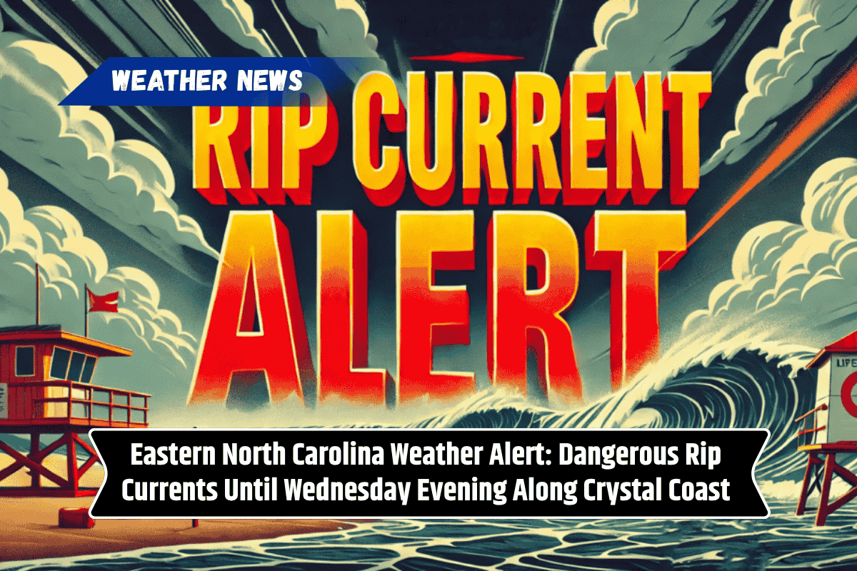
Residents and visitors along the Eastern North Carolina coast, including Shackleford Banks and Bogue Banks, should be aware of dangerous rip currents that will persist through Wednesday evening. The highest risk for these currents will occur around low tide, which is approximately 7:38 a.m. Wednesday.
Rip currents can be extremely dangerous and even the strongest swimmers are at risk of being swept away. The National Weather Service advises staying out of the water during this time. If you get caught in a rip current, do not fight it; instead, swim parallel to the shore to escape its pull, and then head back to land.
Thursday: Thunderstorms and Rising Heat
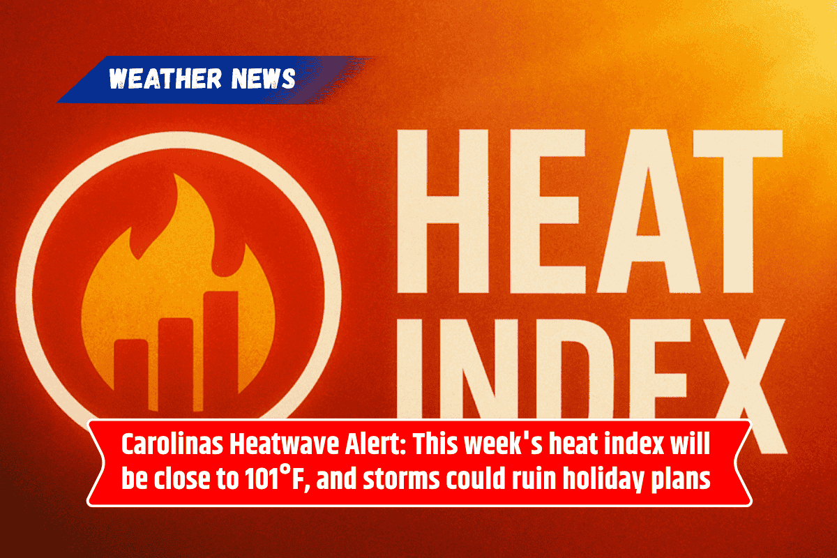
On Thursday, a cold front will bring a slight chance of strong to severe thunderstorms in the afternoon and evening, potentially adding another layer of danger to the weather conditions. In addition to thunderstorms, heat indices will climb between 100°F and 105°F, making it feel much hotter.
By early next week, the heat will intensify, with temperatures possibly reaching a scorching 110°F. Residents are advised to take precautions against heat-related illnesses by staying in air-conditioned spaces, drinking plenty of water, and checking on vulnerable neighbors and relatives.
Friday to Sunday: Showers, Thunderstorms, and Continued Heat
The weekend forecast for Morehead City includes a mix of showers, thunderstorms, and hot temperatures. Friday will see a high of 88°F with showers likely and possible thunderstorms.
Saturday will bring more of the same, with a chance of showers and thunderstorms and a high near 87°F. Sunday will continue the trend with a slight chance of thunderstorms in the afternoon and temperatures reaching around 89°F.
Five-Day Weather Forecast for Morehead City, NC
Wednesday: A slight chance of showers and thunderstorms after 1 p.m. Sunny, with a high near 91°F.
Thursday: A chance of showers and thunderstorms after 2 p.m. Mostly sunny, with a high near 89°F.
Friday: Showers likely and possibly a thunderstorm. Mostly cloudy, with a high near 88°F.
Saturday: A chance of showers and thunderstorms. Mostly sunny, with a high near 87°F.
Sunday: A chance of thunderstorms after 2 p.m. Mostly sunny, with a high near 89°F.
Morehead City is facing a variety of weather hazards this week, from dangerous rip currents at the beach to thunderstorms and extreme heat that could impact outdoor activities. The combination of high heat and potential storms will be a concern, especially during the Juneteenth holiday and into the weekend.
Be sure to stay safe by avoiding the water during times of high rip current risk, preparing for storms, and taking steps to protect yourself from the heat.


Leave a Reply