

Colorado Springs, CO, is set to experience a shift in weather that will bring the threat of severe thunderstorms to the Pikes Peak region and southeastern Colorado. Starting Monday afternoon, residents should prepare for strong storms that could bring damaging winds and large hail. The stormy weather will continue into Tuesday, posing potential risks for travelers and outdoor activities.
Severe Thunderstorms on Monday and Tuesday
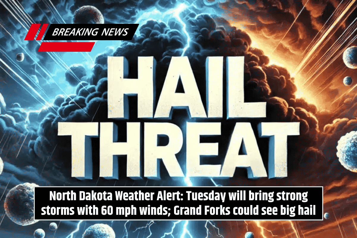
According to the National Weather Service, a couple of strong to severe storms are expected this afternoon and evening. The primary threats include wind gusts up to 60 mph and hail reaching up to one inch in diameter.
The strongest storms are forecasted to impact the Palmer Divide and Raton Mesa, areas known for more intense weather. This could cause disruptions to travel and outdoor activities, so residents should be prepared for sudden changes in conditions.
On Tuesday, conditions remain elevated, with a 40% chance of showers and thunderstorms, primarily after 3 p.m. High temperatures will reach around 94°F, and some of these storms could become severe, bringing the risk of large hail and damaging winds.
The most significant storm threat will be across the southeast plains near the Kansas border. Residents are advised to secure loose outdoor items and stay alert to weather updates as the situation develops.
Warm, Dry Weather Ahead
After Tuesday’s stormy conditions, Colorado Springs can expect a return to warmer and drier weather. Wednesday will be mostly sunny with a high of 93°F, setting the stage for sunny and hot conditions over the coming days. On Thursday, for Juneteenth, temperatures will be around 92°F, continuing the dry weather trend. This increased heat and dryness could lead to elevated fire weather concerns, especially across the plains.
Severe Weather Alerts May Continue
Severe weather conditions are expected to remain a concern through Tuesday evening. As additional advisories may be issued, it is essential for residents to stay updated on local weather reports. Securing outdoor objects, especially in areas prone to high winds, is a precautionary step everyone should take.
Five-Day Forecast for Colorado Springs:
Monday: Sunny with a high near 90°F. Severe storms possible in the afternoon.
Tuesday: Sunny with a high near 94°F. 40% chance of afternoon thunderstorms.
Wednesday: Mostly sunny with a high near 93°F.
Juneteenth (Thursday): Mostly sunny with a high near 92°F.
Friday: Mostly sunny with a high near 95°F.
Saturday: Sunny with a high near 94°F.
Colorado Springs residents should be ready for a turbulent start to the week with severe thunderstorms expected Monday and Tuesday. These storms could bring high winds and large hail, particularly impacting the Palmer Divide and southeast plains.
After the storms, expect warmer, drier weather through the week. Be sure to stay updated on local conditions and take precautions to protect yourself from severe weather.


Leave a Reply