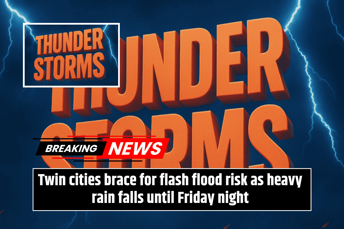
Minnesota is bracing for heavy rain and thunderstorms that are expected to last until Friday morning. The central part of the state, in particular, could see more than 4 inches of rain, raising concerns about localized flooding and possible travel disruptions.
Rainfall and Storm Predictions
According to the National Weather Service in Twin Cities, most of Minnesota is expected to receive between 1 and 2 inches of rain. However, areas stretching from Alexandria to St. Cloud and the northern Twin Cities metro could experience significantly heavier rainfall, possibly exceeding 4 inches by early Friday morning.
The heaviest rain is anticipated to fall from Thursday afternoon into Friday morning, with severe thunderstorms also being a possibility during this period.
Flooding Concerns and Travel Impact
The heavy rainfall could lead to localized flooding, especially where storms pass through the same areas multiple times. Areas along I-94 and Highway 10 are particularly vulnerable, and residents in these zones should stay alert and avoid driving on flooded roads. Storm drains and low-lying areas, such as intersections in Hutchinson, Willmar, and Cambridge, may be impacted by the excess water.
Safety and Precautions
While the exact location of the heaviest rainfall is still uncertain, central Minnesota is most likely to receive the most rain. Residents are urged to monitor weather updates, keep their phones charged, and stay alert for emergency alerts. It’s also advisable to limit unnecessary travel until the storms have passed.
Residents should continue to stay informed as the storm system moves through the state, and keep an eye on potential flood warnings and travel advisories. Further updates will be provided if necessary, especially if the storm’s severity increases.