Scattered thunderstorms are predicted to affect parts of northern Illinois later this week, with the heaviest rain and potential strong storms expected from Friday into Saturday. The National Weather Service in Chicago has issued a forecast that warns of increased chances for rain and thunderstorms, particularly in the inland areas and along the Illinois-Wisconsin border.
Weather Details for Thursday and Friday
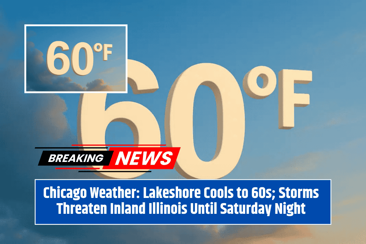
Temperatures in inland areas will rise into the 80s on both Thursday and Friday, while lakeshore regions will remain cooler, with temperatures staying in the 60s and low 70s. On Thursday, isolated afternoon and evening thunderstorms are possible, especially north of Interstate 80, close to the Wisconsin state line.
However, Friday brings a higher likelihood of widespread showers and thunderstorms, mainly affecting areas from Rockford to Kankakee. Along with the rain, gusty winds, lightning, and brief downpours are likely to occur.
Saturday’s Forecast and Storm Threats
Saturday is expected to bring similar weather conditions, with more thunderstorms likely in the afternoon and evening, especially across eastern Illinois. Residents should be aware that there is a chance of stronger storms in the area, so preparations should be made.
Precautions for the Public
Drivers are advised to be cautious, especially during the evening commute on Friday and Saturday, as wet and slick roads are likely to cause dangerous driving conditions. People with outdoor activities planned should secure any items that could be affected by strong winds or rain. Additionally, there may be disruptions to weekend events due to the stormy weather.
By Sunday, cooler and drier air is expected to move in, offering a break from the storms and returning more pleasant conditions.
As of now, the next weather update will be provided on Thursday morning. However, residents should stay tuned for any additional advisories if the storm threats intensify.